Gulmarg, India

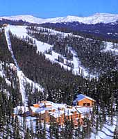
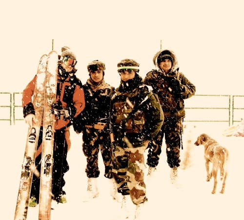
Upon arriving in Gulmarg, the mountains are hidden in low fog, and the place is covered in a fresh dumping of snow. But I can see where the gondola heads up into the clouds. I wasn’t sure where the rest of my crew was so, I have Brashir drop me at one of the local hotels that offered Internet. As I attempt to walk around looking for the crew, I run across Kashmiris with wooden sleds pulling young children, Indian skiers in gear from the 80s waiting at the gondola, and monkeys feasting on the trash outside of a hotels along with the local ravens. After about an hour I give up and have a beer. Gulmarg is in a state of near completion. Almost all of the buildings are half way done but may never get finished as the war between the two states have driven the tourists away.
Fore more on this trip, check out http://forrestcoots.squarespace.com/blog.
Thanks to rolling power outages, the power goes out five or six times in my first night here. Upon meeting up with the crew and packing my bags for the last time, I head to my home for the next month: the Gulmarg Resort. Tomorrow will be my first day skiing and give me a good chance to get out and stretch my legs after traveling for two full days.

“Come on! Let’s go get into the truck!” Anthony yells at the six of us brightly colored characters dispersed amongst a group of Kashmiris hanging out in front of our unofficial home for the next month, Gulmarg Resort Hotel. Today is my first day in Gulmarg and my mind is a little cloudy from the three days of travel. The plan is to check out a zone outside of Gulmarg past a military base. Nothing like getting face to face with the military on day one.
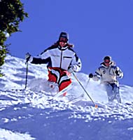
Before long we are rolling down the icy snow covered road as our Kashmiri driver asks us where we are all from, honking around every turn as he waves at trucks going the other, all the while smoking a cigarette.
Not long after passing the last hotel, the road narrows and the buildings change from small hotels and guesthouses to camouflaged barracks behind large barbed wire fences. Around the next corner a sign reads “High Altitude Warfare School” along with a canon. As we continue to motor along the road, we arrived at a military checkpoint in the heart of the camp.
As we roll up, guards in white snow boots and machine guns rush out of a makeshift warming hut toward our trucks. They tell us to turn around and return back to the gondola, that we are not allowed to travel beyond the camp. As we attempt to talk with the commander or whoever is in charge, more and more troops come out from the little warming hut. And before long there are more machine guns then skis. One of the soldiers tells us “Turn around, you are not welcome here. Please return to the gondola!” while waving his machine gun in the direction of the gondola.
All of the cameras seem to make them very uneasy, so after our unsuccessful bid at getting past the military, we turn around and we head for the gondola.
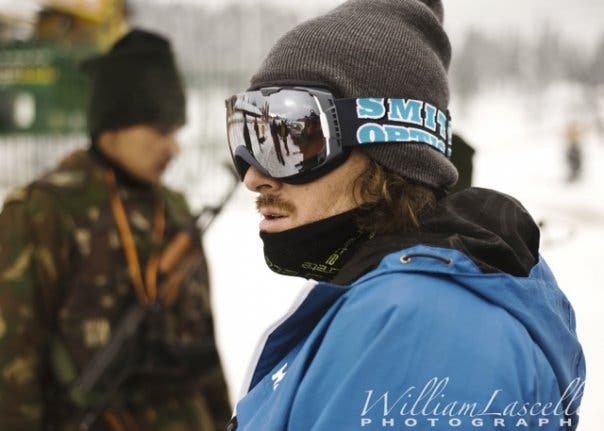
So in the end we paid the two-dollar-per-ride lift ticket for the gondola—the power goes out so often that you pay for each gondola ride—and headed up the gondola which was bought second hand from some European resort in the eighties.
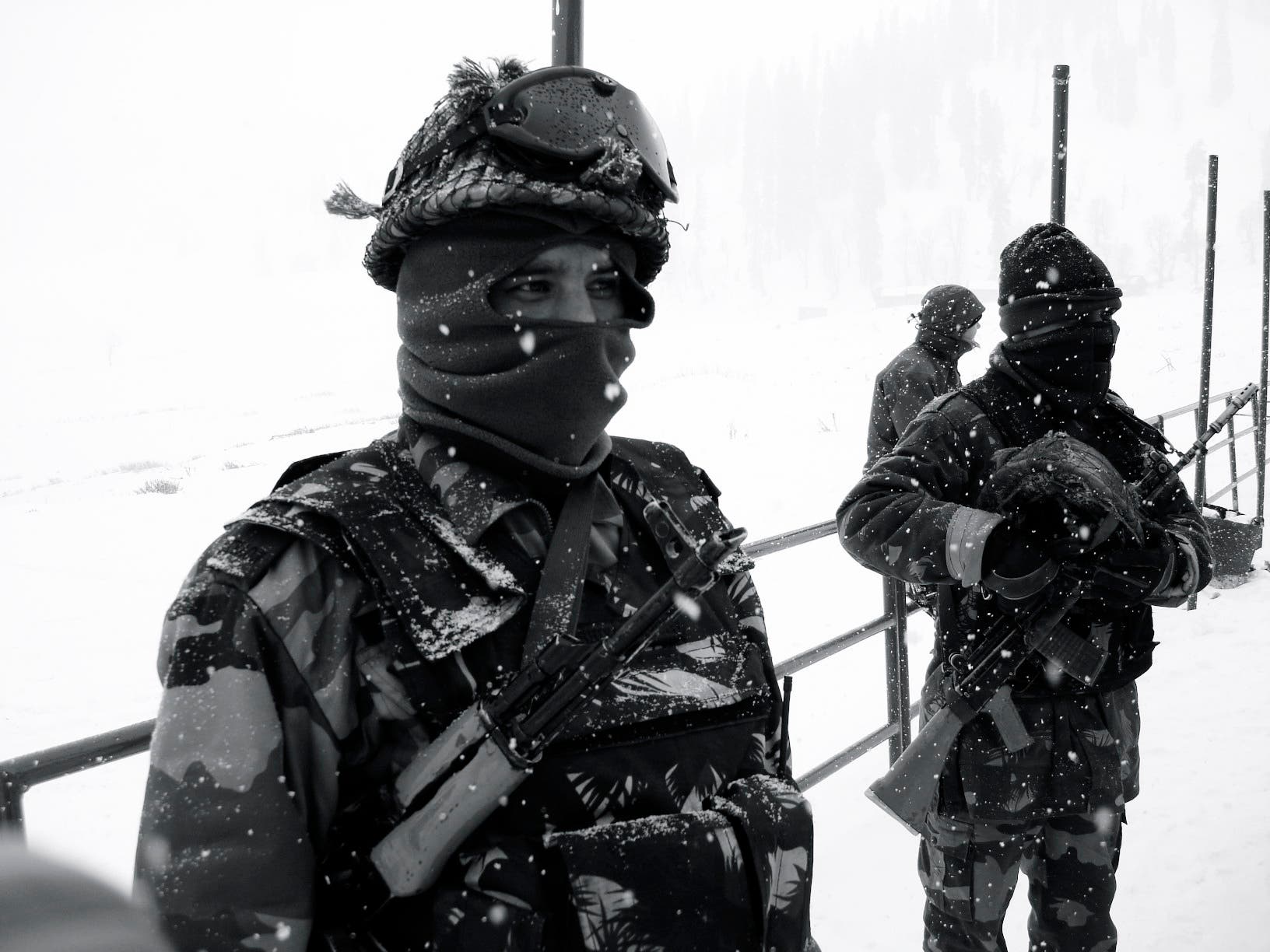
I know that I keep talking about the military in Kashmir but they are everywhere. From in the lift line to in town milling around. They all seem to be a little bored as they watch tourists and smoke cigarettes.
Arriving at the mid station, the upper mountain is still closed and patrol is doing control work up high. We make do with the low angle ridges nearby. It is good to get out and get a little exercise to stretch my legs on a little tour. Tomorrow the upper mountain is planned to be open. So it should be cool to get out and shred from the highest lift access in the world.

After spending several evenings over dinner analyzing and discussing the long range forecast (a large five day high pressure was on its way to Gulamrg) we had to put together a plan because the upper mountain was still not open. We all knew how fast it would get shredded once it was. We had to beat the public. We discussed the plan of getting out and spending a night or two out in the alpine, a little walk-about in the backcountry with the goal of shredding some early morning lines without the competition of the rest of the resort. After greasing the right wheels and getting the OK from the snow safety guys and patrol, it was on. The plan was to get up the gondola early when patrol was doing some of the control work and go to work on a zone off the resort while patrol opened the rest of the resort. Then catch one of the last gondola rides up in the late evening and hike the half hour to the top of Apr a Shangri-la and set up camp. We planned to rise early with the sun, skin into position as the early morning light hit the Shark Fin zone. Then shred it before the first gondola riders could get there.

To make it happen, we would have to skin from the top of the gondola an hour to our temporary home for the night at 14,000 feet. As we arrive at the lower gondola we learn that the military that delivers the explosives to the snow safety crew each morning has not shown up. After a few calls we learn that it doesn’t sound like the snow safety crew will get them today. We quickly decide to go with plan B and head to a steep birch treed zone known as the paper trees.
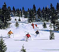
Once on top and after skinning up and getting loaded down with our 50-pound packs full of tents, lights, cameras, video cameras, and sleeping bags, we were off, 40 minutes to the top (I know that it doesn’t sound that long but at 13,000 feet, it’s a slow and steady climb).
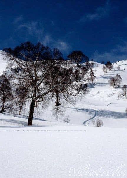
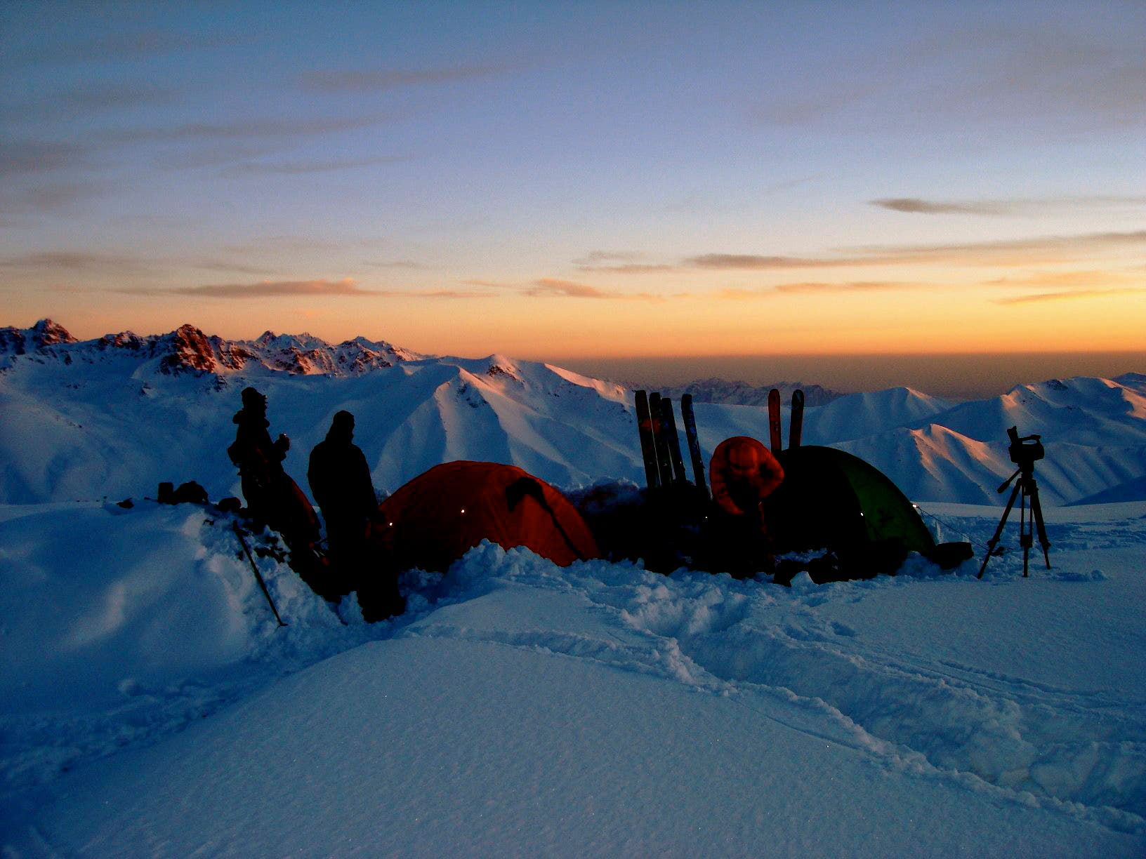
We arrived at our new home for the night, and the last of the evening’s hikers made their way past us, dropping off the peak and into 6,000 feet of powder back down to the town of Gulmarg for the night. We began the task of setting up camp. Some of us built a platform and snow walls to help deflect the wind, while others put together the tents and guided them out which insured that they wouldn’t blow away, because our camp was on top of a 14,000-foot ridge.
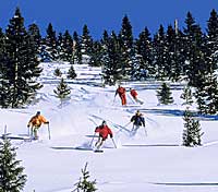
The water condensation on the roof of the tent soon froze and lightly snowed on us all night every time someone in the tent bumped the walls. In the middle of the night I woke to “Forrest, you hear that?”
“ Yeah I think so,” I responded, although I wasn’t quite sure I did. It was Colin, one of the other guys sleeping in the tent with me.
“What do you think it is?” I asked
“A snow leopard!” Colin responded. We had seen big cat tracks all over the mountain for the last few weeks so maybe it wasn’t that far from the truth. Then both of us were sitting upright in our sleeping bags listening to something outside of the tent moving around and attempting to get into our packs; looking for food, I guess.

What should we do?” I asked.
“I’m not sure,” Colin responded.
Then Will, the third tent mate said, “ I bet it’s Sven,” the Swiss snowboarder who has been out skiing with us the last few weeks. We all laughed a little but not quite sure we wanted to get out of the tent and see if was Sven or if it was in fact a snow leopard. At that moment I felt like I wasn’t on the top of the food chain, but rather maybe dinner. For the rest of the night I tossed and turned as the frozen condensation snowed down on me and the animal outside attempted to get into our gear. When the sun began to rise and the alarm went off, it was time to greet the day.
After a few minutes wrestling with my frozen ski boots and a quick breakfast, I was skinning toward the 700-foot 50-degree face know as the Shark’s Fin. The early morning light was slowly lighting it up. After the short 30-minute skin, I was standing on the top of the little peak, from the summit I looked out over Kashmir and could see the LOC (Line of Control, the soft boarder between India and Pakistan) fence a ridge away. From what I could see, it looked more like a rancher’s fence rather then the boarder of two countries engauged in a 40-year war where millions have died.
I chose to ski a shoulder of the peak, and after slowly working at chipping away the cornice with my pole to create a clean entrance, I was set and ready to drop in on the 45-degree slope. A quick call to the filmers checking to see if they were ready, I have the 10-second call, 5,4,2,1, dropping…
For more on the trip, check out Forrest Coots’ blog.