Published December 8, 2016 05:30AM
"The Buoy" Floats to Fame
Is the best Utah powder forecaster bobbing in the Pacific Ocean 3,000 miles away?
You’ve stalked the weather forecast for weeks, hoping and praying that you can call in “sick” on the eve of the next big storm. But 10-day forecasts are notoriously unreliable, and when Alta reports 14 inches on a random Tuesday, you’re stuck in a cubicle with back-to-back meetings. Forget the local meteorologist; you need a snowy crystal ball that can predict when the flakes will pile up well before they pile up.
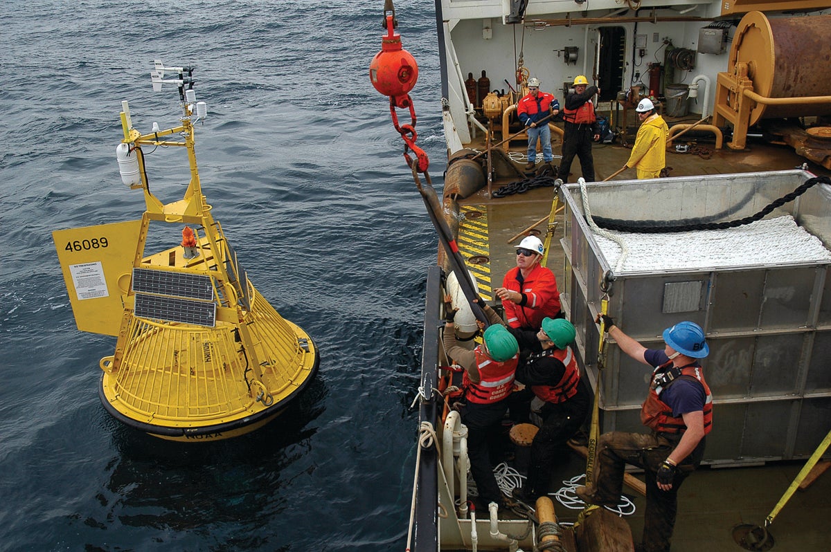
Enter “The Wasatch Powder Buoy,” a NOAA-controlled weather buoy (officially Station 51101) floating off the northeastern coast of Kauai that’s been predicting Utah storms for the past 10 years—at least according to the buoy’s passionate true-believers.

The first skier to discover its power was Hank Manninen, a snow-loving engineer and surfer who split time between Maui and Park City. The Buoy, as it’s called on its growing Facebook page, quickly gained a cult following in Utah. Now meticulously charted by longtime Park City resident Mike Ruzek, the buoy’s data just might be the answer to getting the most out of your storm chasing.
ADVERTISEMENT
New Jersey–born Ruzek moved west in 1993 to attend the University of Utah. But later as a financial advisor and family man, he needed to do the impossible: schedule his powder days. When Manninen let Ruzek in on the eerily accurate forecasting power of the Wasatch Powder Buoy, he was hooked.
While the buoy’s telemetry—part of the National Data Buoy Center—tracks all kinds of oceanic- nerd numbers for NOAA (swell direction, wind wave period, wave steepness, etc.), what matters for powder hunters is the wave height. A “buoy pop,” or increase in wave height, means the Wasatch should get hit with a storm two weeks later. Ruzek has spent the last few years analyzing the buoy and its data, noticing that the larger the pop, the bigger the storm. Sometimes the buoy spikes up and comes down hard, a pattern that usually means just a few inches of snow. But if the wave height goes up and stays high? Ruzek says that means ski areas like Snowbird and Park City should prepare to get hammered—and so should you. (Google “NDBC Station 51101” for a direct link to the buoy.)
Wasatch insiders like the Brighton patrol and local ski shops wait for the buoy to pop and mark their calendars. We’re told non-locals around the world follow the buoy, and then line up travel plans accordingly. So the buoy appears to work. It predicted Wasatch powder 83 percent of the time this past ski season, according to Ruzek.
ADVERTISEMENT
We checked in with NOAA, of course, regarding the buoy’s magical powers of prediction. “To be credible, this type of claim would need to be backed by peer-reviewed scientific literature,” was the e-mailed reply. “Lacking that, I’m afraid it can’t be scientifically substantiated.” Fine. Be all smartypants. But we want to believe.