Updated July 19, 2024 12:42PM
Get All of the Views With Little of the Work on These 5 Scenic Lift-Served Hikes
Great views without all of the hard work. Here are our favorite summer hikes at ski resorts throughout North America.

(Photo: Courtesy of Squaw Valley Alpine Meadows)
Let’s face it: We’re not all thru-hikers. We’ll leave that to our friends down the hall at Backpacker.
That said, we do love the mountains in the summer. One of the best things about hiking at the resorts? The chairlifts and gondola that do the heavy lifting.
We chatted with our resort friends about their favorite lift-served hikes during the resorts’ second season, and collected a list of moderately strenuous options that serve up some of the prettiest mountain views—even if you don’t have to work that hard for them. After all, no one back down at the base will know when you’re enjoying that après-hike bevy.
Whistler Blackcomb, B.C.

• Distance: 4.4 miles roundtrip
• Elevation Gain: 846 feet
• Accessed From: Peak2Peak Gondola
Take this scenic route that departs from the mid-mountain Rendezvous Lodge in a clockwise direction for the best views out over Overlord Mountain, Overlord Glacier, and the entire Coast Mountain range, then connect to the Overlord Trail, which wends by an alpine lake perfect for a picnic. Hiking info here.
ADVERTISEMENT
Palisades Tahoe, Calif.

• Trail: High Camp to Squaw Peak
• Distance: 2 miles
• Elevation Gain: 844 feet
• Accessed From: High Camp Gondola
This moderate hike takes the trail from High Camp past the Gold Coast chair and winds its way to the top of Palisades for spectacular views of the sprawling Granite Peak Wilderness. It’s just the length and elevation for intermediate hikers looking for a whiff of adventure. Hiking info here.
Also Read: Which Season Pass Offers the Best Summer Perks
ADVERTISEMENT
Vail Mountain, Colo.
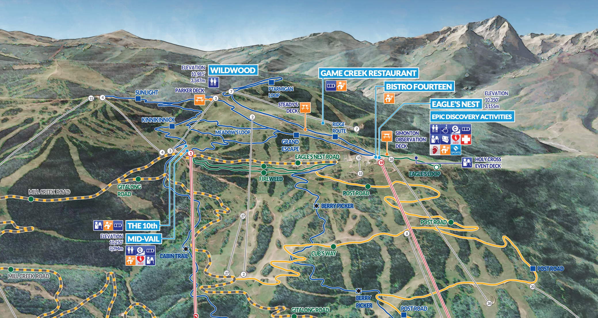
• Distance: 1.4 miles
• Elevation Gain: 664 feet
• Accessed From: EagleBahn Gondola
Like the name suggests, Ridge Route follows the ridge from Eagle’s Nest at terminus of the EagleBahn Gondola to Wildwood. It’s not long, but it does begin at over 10,000 feet, so take that into consideration. This is a well-signed route that traverses the spine of Vail Mountain and rewards all comers with amazing views of 14,009-foot Mount of the Holy Cross. You can extend this hike by connecting to Ptarmigan Loop, with vistas out over the Holy Cross Wilderness. Hiking info here.
ADVERTISEMENT
Stowe, Vt.
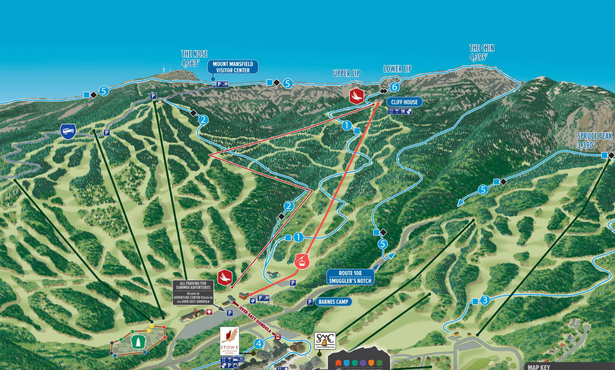
• Distance: .7 mile
• Elevation Gain: 735 feet
• Accessed From: Mount Mansfield Gondola
Don’t be fooled by the brevity of this route. It’s short but very steep, with jumbled boulders and other hazards to scramble over. Reached from the top of the gondola, the Cliff Trail ends at an exposed ridgeline that offers 360-degrees Green Mountain views. Hiking info here.
Related: The 4 Best Ski Areas for Mountain Biking, Plus Opening Dates
ADVERTISEMENT
Deer Valley, Utah
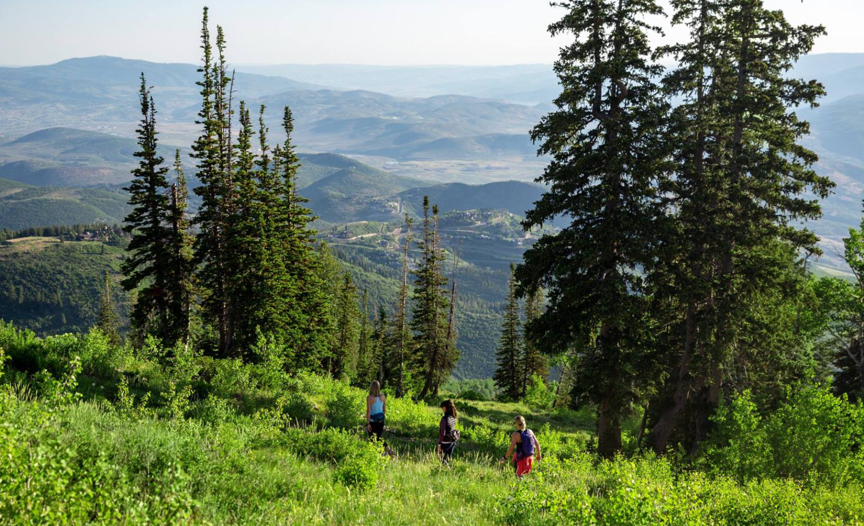
• Distance: 3 miles
• Elevation Gain: 1,400 feet
• Accessed From: Bald Mountain Express
Ontario Canyon is a beautiful hike that descends off the backside of Bald Mountain across open meadows, passing through mining relics along the way. It’s a hiker-only trail, so no worrying about jumping out of the way for the mountain bikers who also descend on Deer Valley in the summer. Hiking info here.